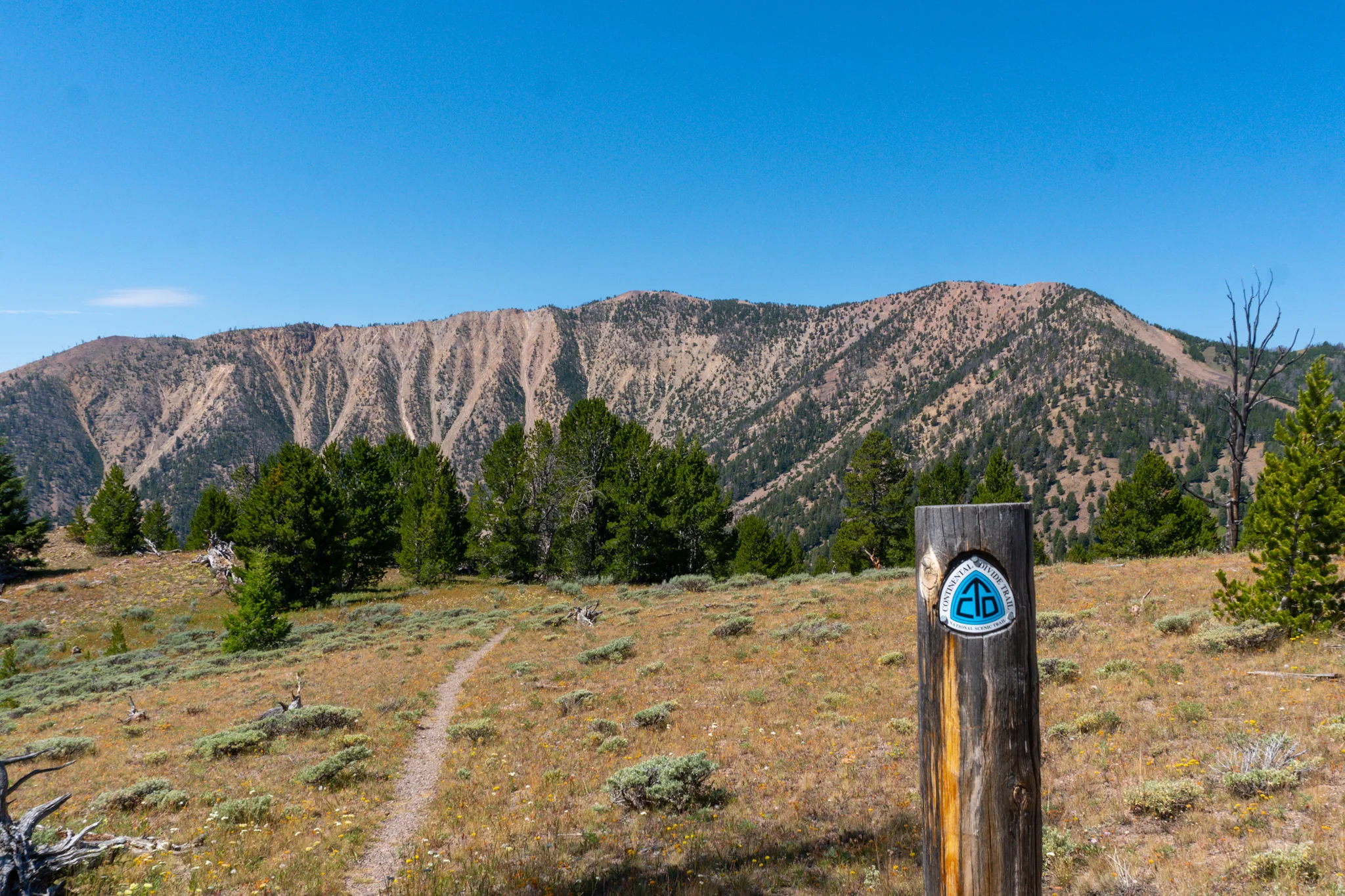
I flew past some other hikers on my way up to the 14,014ft summit of San Luis Peak and lucked out that some section hikers brought a sign that they let me borrow to pose with. I chatted with the others for a bit, ate a lunch, and then decided to high tail it out of there before the ominous clouds started to dump rain and thunder.
Section 13-2: “The Window”, Mining Ruins, Crazy Weather, and Crazy Peaks (21 photos, 1 video)
Section 13-1: The Knife's Edge, Endless Ridgelines, Section-Hiker Saviors (22 photos, 2 videos)
Section 12: Colorado NOBO Flip-Flop, the San Juans, and Endless Valleys (21 photos, 1 videos)
Finally truly back on the trail! I was packed up and walking shortly after 8 and soon came across a huge buck laying in the middle of the trail. I thought he might be sleeping so I clacked my trekking poles and shouted at him but he was dead. There didn’t seem to be any wounds so he must have just died and decided the CDT was a fine final resting place.
Shedding More Pack Weight (8 photos)
Intermission #1: A Prison, a 250 Mile Hitch, PCT Friends, a BASSlorette Party, and a Wedding (22 photos, 0 videos)
I walked across town to the truckstop to get brekkie and begin my 250 mile hitch to Salt Lake City. There was a Greyhound route that stopped here so that was a good backup plan in case I couldn't score a ride. However, it was off to a good start when a fellow ski bum, Nelly, picked me up in his truck.
Section 11: The Great Basin, Flatness, Cows, and Creative Hammock Hangs (24 photos, 4 videos)
Section 10-3: The Dozen Dip Challenge, Cirque of the Towers, and Descending to the Great Basin (19 photos, 3 videos)
One day to swim in all 12 Lakes along the Cirque of the Towers Alternate Route. Are you up for the challenge? Roughly 18 miles to cover this stretch, with three steep passes, and tons of frigid water. LETS GO!
Shadow Lake, Billy’s Lake, Barren Lake, Texas Lake, Lonesome Lake, Arrowhead Lake, North Lake, Big Sandy Lake, Clear Lake, Deep Lake, Temple Lake, and Little Sandy Lake.
Section 10-2: The Knapsack Col Alternate, Beautiful Passes, and Even More Sunsets (17 photos, 2 videos)
My way down was the sketchiest single bit of trail that I have ever done. Check minute 1:40 of the video above to see what I'm talking about. I either had to jump across a chute and then scramble down scree or just climb down the chute. I could see why people recommend hiking this section with a partner, one slip and I'm breaking something
Section 10-1: The Wind River Range, Long Food Carries, Surreal Lakes, and More Teton Views (20 photos, 2 videos)
I got back to our hangout spot, sorted the food, and began to work on the blog but was soon interrupted by an excited Newt. He had went to the gas station to get some snacks and a former CDT thru hiker, Didgereedoo, offered him a ride back up to the trail. When hitches like this present themselves, you must take them.
Section 9: Into Wyoming, Yellowstone, Nighttime Shots, Sandhill Cranes, and More Lakes (30 photos, 4 videos)
We caught Old Faithful spewing into the sky and then I was off to the races. The Geyser Basin was pretty cool, it was littered with spectacular thermal springs but lacked the boardwalks packed with hundreds of tourists. Soon after was a half mile walk through a bog which I just did barefoot. The trail frequently sank two to three feet below the water
Section 8: The Last of Montana & Idaho, The Sheep Experiment, Evil Radars, and into Yellowstone NP (30 photos, 1 video)
I wasn't the only one hoping to catch this shuttle, which is really just a pickup truck with a cap on the back. Fourteen, yes 14, hikers and packs crammed into the truck and we learned it was just one shy of the all time record. It was also funny to see 14 hikers getting vomited out onto the side of the highway.
Section 7: Summits, Bulldozers, Bone Pits, Elk Herds, and Cow Stampedes (31 photos, 5 videos)
The peak sits at 11,000ft and I checked the valleys of Montana to the North and Idaho to the South and the skies looked clear. I made it halfway up the grueling climb and then noticed some dark clouds materializing nearby. After another chunk of elevation gain, I could tell the dark clouds and thunder were heading my way so I ducked behind a rock pile to see what it would do. I got rained on for a bit, the thunder grew louder and louder, and I could see lighting shooting down to the valley floor
Section 6: Sunsets, Islands, and Cabins as I start Turning up the Mileage (31 photos, 3 videos)
I scored a hitch up to the Highway 43 trailhead where I resumed my footpath South. The CDT follows some more snowmobile and ski roads for a bit before arriving at a long ridge with views of Squaw Mountain and another Pyramid Peak. The sun was shining but a dark cloud accumulated and started to chase me down.
Section 5: The Pintler Wilderness. Lakes, Burn Zones, and walking through a Plague (27 photos, 2 videos)
Trail Angel Josh lent me a bicycle to do a few town chores; shipping home some things and getting my food resupply since their credit card network was down when I tried last night. He then drove us back to the end of the roadwalk and, thanks to yesterday's slackpack, I was glad to not have to hike that stretch today.
Section 4: Helena National Forest. Logging Ops, Abandoned Cabins, Farms, and a fun weekend in Anaconda (30 photos, 3 videos)
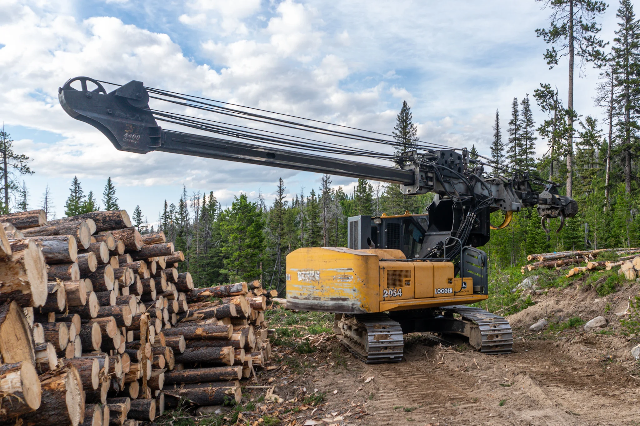
I scored a hitch in less than a minute from am old timer named Dan who said he hitched all over the world in the 60s and that Rio de Janeiro was his favorite place. I got a decent bit of miles covered for not starting until 5PM and along the way I passed by a logging operation. I felt like a little kid staring in awe at the big machines as they ripped trees out of the ground and de-branched them.


