
Section 5 is 100.6 miles long and runs from Anaconda to Highway 43. July 22nd - 25th.
Day 29, 17.4 miles to Page Lake.
Josh lent me a bicycle to do a few town chores; shipping home some things and getting my food resupply since their credit card network was down when I tried last night. He then drove us back to the end of the roadwalk and, thanks to yesterday's slackpack, I was glad to not have to hike that stretch today. Willie and I hiked together most of the way and I was impressed with his hiking resume at only 18 years old. We absolutely flew across the rest of the Anaconda alternate route, averaging at least 3mph, until we arrived at Storm Lake. There were about a dozen people there and it was unfortunate that the Sun became blocked by some clouds as we arrived. I did not let that deter me from my cliff jumping and I easily found “the” rock. It was only about eight feetbut the water was freezing cold and without the heat of the sunshine to warm me up in between jumps, I only went in twice. We made quick work of the climb over Storm Pass, made some Mio snowballs with lingering snow up top, and then went across the Goat Flats.

Surviving section of an all-wood 3.5 mile long flume.
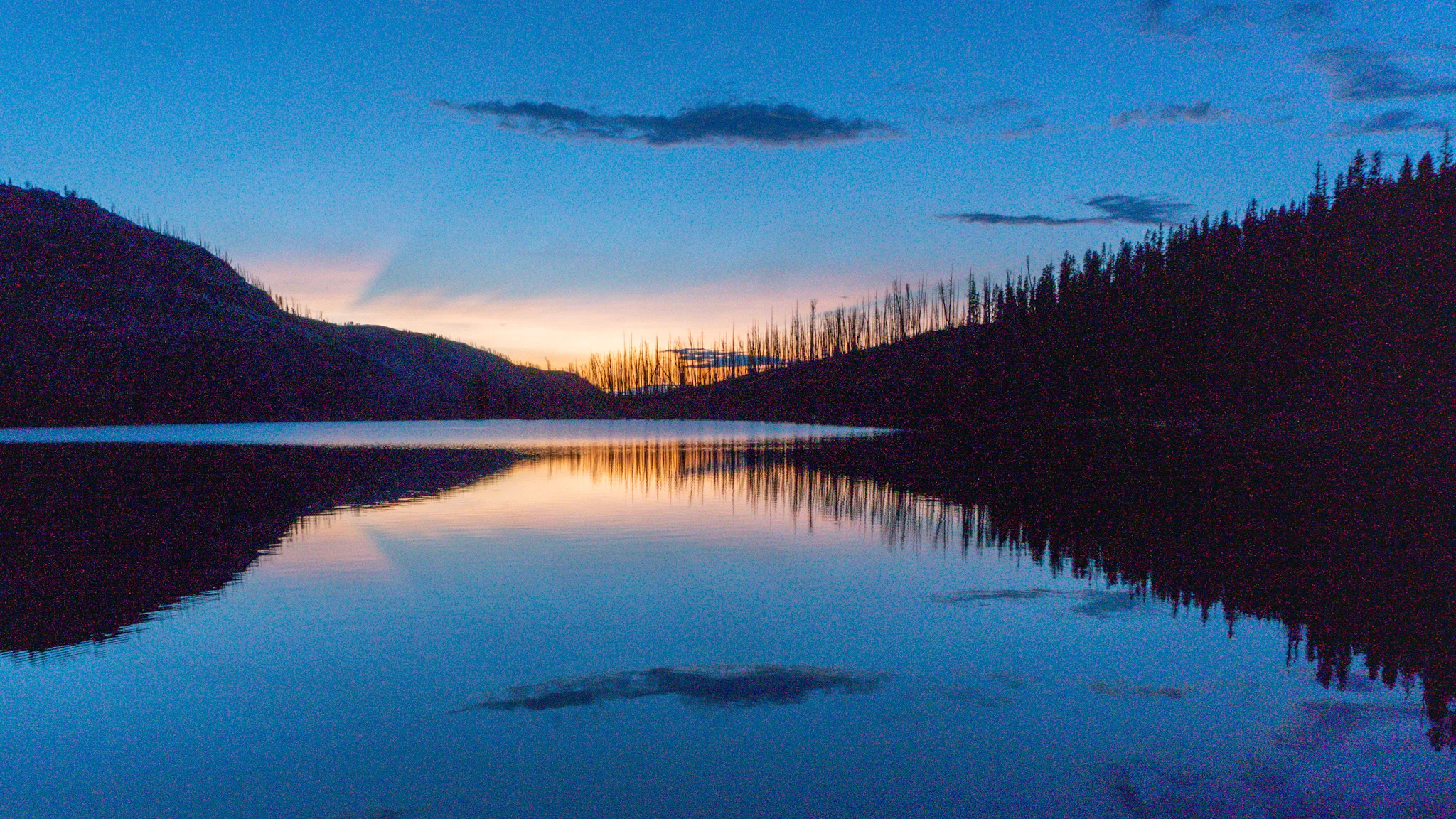
Storm Lake.
Mio water flavoring also makes great snowballs.
Fabulous green glitter bug liked my trekking pole.
The Goat Flats.
Day 30, 22.8 MILES to Johnson Lake.
The wind pick up around 4a.m. and shook my tarp enough to keep me up for a couple hours. When it died down I went back to sleep, and slept in, and did not hit the trail until 9 or so. I zipped up the first big climb of the day and on the other side of the ridge was Queener Basin which was absolutely stunning. It was just one of those views that looked like it was straight out of a postcard. The trail was still very well maintained and before I knew it I was up and over the next climb, Cutaway Pass. At the bottom I took a snack break and got some water at La Marche Creek before conquering the 16 steep switchbacks up to Warren Lake. I thought about taking a swim but it looked very shallow, with rocks breaking the surface of the water for roughly 50 yards out, and then a mosquito swarm arrived so I kept moving. One last valley to get through and I arrived at the switchbacks leading up to Rainbow Pass. Up top, I got some great shots of West Goat Mountain with Rainbow Lake below and cooked dinner while enjoying the view. However, the other side of the pass had an even better view of two ridges dropping down to Martin Lake and Johnson Lake with the sun setting behind the distant peaks. After many-a-photos I dropped down the final bit of elevation change and saw a small rockfall crumble down the side of the ridge across the way. I heard a waterfall somewhere near the bottom but the trail did not go near it so I bushwhacked around to find a double set of waterfalls. I stopped to take some long exposure pictures and then had a short distance left to Johnson Lake. I thought about how amazing today was; I smashed four climbs of 1000+ feet, saw beautiful valleys, peaks, and lakes, and even found some long overdue waterfalls. Then Johnson Lake was the cherry on top. I discovered a perfect campsite with a fire ring, flat rock to serve as a dinner table, and a great view of the sunset. Oh, and I had the place to myself.
Queener Basin.
Other side of Queener Basin.
Warren Lake.
Lower Space Jam Falls.
Upper Space Jam Falls.
Johnson Lake.
Day 31, 23.9 miles to Hell Roaring Creek.
I was up on the early side and got packed up but I had promised myself to go for a morning swim. Being at the East side of the lake meant the sushine would take longer to arrive so I waited. As soon as the warm light hit my tea of blue water I went in for a quick dip and rinse. From there I went up and over Pintler Pass and took an alternate route to go by another lake. Dip #2 wasin Oreamnos Lake which had a large fallen tree that served as a gangplank to walk out on and jump in. I ate a snack as I dried off and then I went to finish off the short alternate. The trail immediately faded away and I had to follow the topography map for the rest of the way. The notes suggested following the bowl to circle around Sawed Cabin Lake but that just lead me to traversing over a cliff and then have to slide my way down a scree field. The single line of trees was definitely the better route and I wish I took that way. Back on trail I entered a long stretch of burned trees and there were many blowdowns I had to step over. There was a hidden spring off trail that took me a good 20 minutes to locate but dispenses some ice cold water. I arrived at Surprise Lake but the sun had just retreated behind the neighboring mountain which made me think it'd be a cold dip. I was relieved to find I was wrong and it was actually the warmest dip of the day. Afterwards, I dried off and cooked dinner on the lakeshore. It was then an easy two miles down to Hell Roaring Creek which actually sounded more like a Peaceful Rustling Water Creek that soothed me to sleep in no time.
Sawed Cabin Lake from above.
Sawed Cabin Lake from below.
Day 32, 25.7 miles to Highway 43 and a hitch into Darby.
The sound of water gave me a great nights rest but being down in a valley also meant it was a cold morning. I wrapped myself up in my quilt as I cooked some oatmeal for breakfast and got packed up as soon as I could. Hiking warms you up! After a decent climb with a faded trail requiring you to follow a series of cairns, I entered another long stretch of burned forest with a lot of downed trees. Most of the day was through burn zones and Guthooks missed lots of water sources so I had to find blue lines on the map and bushwhack to the water. Towards the end of this stretch the trail links up with a tangled web of Nordic ski trails and snowmobile roads that let you choose your own path. Most hikers take a path directly to a rest stop on Highway 93 but I decided to stay on trail and hike to Highway 43. Then I'd roadwalk downhill with an empty pack (no food, no water) to the rest area to hitch to town. This way my continuous footpath will leave off at the trail instead of at the rest area where I'd have to walk uphill with a full pack to resume the hike. During the walk down, a journeyman iron worker named Dustin picked me up and gave me a lift to town. I checked in to camp at the RV park where I met CS, who is finishing up some sections from last year, and we went and got a superb dinner at the Sawmill Bar.
Burned burned burned.
The few patches of shade were quite welcoming.
Day 33, 0-Day in Darby.
I walked to the dollar store and then the grocery store to get my food resupply sorted out then returned to my hammock to edit some photos. I was debating whether or not to get brunch at the Montana Cafe across the street since I was still full from last night's feast. Then a trail family I've been leapfrogging arrived and told me they are having a Christmas in July party at the trailhead that night. That sounded fun enough to make me abandon my plans to hike out and do 10 miles. I went to get brunch, a Trapper Burger which has grilled cheese sandwiches for buns, and a soda. It was delicious. I chilled with the crew (Pulp Fiction, Swamp, 111, Cope, and Trail Bride) for a bit and then picked up a new book from the free bin at the library. I found a neat park where I relaxed and read for an hour or two before meeting the trail fam at the library to get ready to hitch out of town. We landed a ride in about five minutes, a pickup truck had us all like in the back. We found a campsite near the rest area, had mulled wine, and wrote a parody of the 12 Days of Christmas that went a little something like: “On Christmas in July on the f***ing CDT, 7 hikers hitching, 6 liter carry, 5 wetttt wiiiipes left, 4 packs of Ramen, 3 warm beers, 2 trekking poles…”
All aboard! Thanks, stranger, for the ride and for sharing the selfie.
Beautiful ride back up to Chief Joseph Pass.
At the Montana-Idaho border. The next few hundred miles follow this line all the way to Wyoming.