

Section C is 132.5 miles long, stretching from the I-10 bridge at Cabazon to the I-15 bridge at Cajon Pass. May 21st - 29th.
Day 15, 18 miles to Whitewater Preserve.
After hanging out under the bridge, sampling snacks, and talking to a few hikers as they popped in before heading to town, we set off to begin Section C. The other side of I-10 was still windy but we soon saw a decaying truck and some other derelict structure just off trail so we went to investigate. It was a cabin that burned down, but the high winds spread the debris around and it looked more like the place was bombed. I took a lot of photos and we hiked on past the Mesa Wind Farm and took a rest in the little shanty they built for PCT'ers. The rest of the day was a climb up and over a ridge and down to the Mission Creek, where we planned to go to the Whitewater Preserve Campground. However, we found an awesome spot to cowboy camp by the stream and thought "no sense in walking another half mile to an official campsite."

BOOM.


Good thing there is a Club to prevent anyone from stealing this box truck.


Thanks to the Mesa guys for building hikers this shady shanty to relax in!
Day 16, 20.1 miles to camp along Mission Creek.
We hit the ground running to tackle some miles as the trail snaked upwards alongside Mission Creek. At one point the trail is completely surrounded by a circular ridge and it curves up the middle of it to the top. When I reached the top, I looked down and saw our friend Mike heading up. The cliche scene from an action movie popped in my head, so I yelled down to him "Lay down your weapons! We have you completely surrounded!!!" It was an uphill climb all day that really tuckered us out, so we stopped short of the Mission Campsite at a small water crossing surrounded by burned remains of trees.

The flowers on these Englemann’s Hedgehog Cacti always get me.

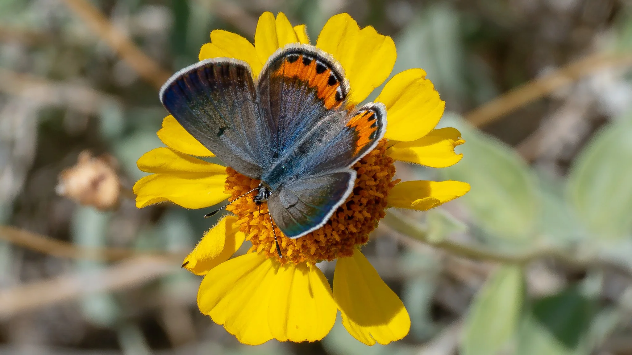
These pretty Desert Blue Bells were sprouting up everywhere in a recent burn area.
Day 17, 22.2 miles to camp at 260.8.
None of the widow-makers fell on us so I guess it was a good night. I scurried up the remainder of the canyon and saw a really cool flower called a Snow Plant by Mission Camp then waited for Nhandi before heading to the Coon Creek Cabin. We met Stash, a trail angel, who was resupplying a water cache and then he joined us for a quick break at the cabin. He told us the history of the cabin, how it was built as a logging camp, then a hunting lodge after all of the trees were cut down, and now it's a shelter you can rent for $110 a night but it looks like it's been abandoned and trashed. Stash told us hikers were up there in the winter, having no clue how to deal with the cold, so they ripped the tin roofing off to cover the windows and doors. Not cool. Down the trail we passed a private zoo with grizzly bears and a tiger. Later on we came upon a dumpster full of sodas and a couch provided by Big Bear Hostel.

Beautiful Snow Plant.

Stash! Water cache extraordinaire and unofficial caretake of the Coon Creek Cabin.

Grizzly Bear. The zoo is in the process of relocating to a larger area where the animals can have larger and less depressing cages.

Yup, I saw a tiger on the PCT!

Big Bear Hostel left a soda-cache next to a big comfy couch a few miles before town.
Day 18, 5.4 miles, nero day at Big Bear Lake.
We crushed the final 5.4 miles to Route 18 and quickly found a hitch into the town of Big Bear. We were at the hostel at 915, 45 minutes before check in, so we walked down the road to Big Bear Lake Brewery to have some morning beers and brekkie. We picked some styling outfits from the loaner clothes, did laundry, showered, and cleaned our packs, sleeping pads, and tent. We spent the rest of the day relaxing, went to dinner at a great Mexican joint, then grabbed some beers and firewood to chill with the other hostel hikers around the fire pit that night.

Fashionable town clothes.
Day 19, 19.4 miles to Little Bear Springs Campground.
We had to do a food resupply before leaving town so we were a little late getting back on the trail, but that didn't stop us from laying down some miles. There was a short fire closure and the alternate route went by an old collapsed mine entrance; which was very tempting to climb on. The trail looped around Gold Mountain, then along a ridge with views of Big Bear Lake down below, and down into a valley where we camped for the night. The trail also has turned westward so hiking towards the setting sun was rather annoying but I got a cool shot of some clouds spilling into the valley.

Gold used to come out of there.


I love seeing clouds from above.
Day 20, 22.3 miles to Deep Creek Hot Springs.
Memorial Day weekend was upon us, the amount of day-hikers was on the rise, and we made it to Deep Creek Hot Springs before the sun set. This is a popular spot with four separate hot springs that empty into pools built out of smooth stones and mortar. There was also a slackline over the river, a rope swing, and a nice 8ft cliff to jump off of. We relaxed in one of the hot tubs and I went for a swim to check out the other activities but we soon retired for the night. As we were laying down for bed one guy busted out a fire spinning routine!

Lil puppy napped with me.

Seven week old pup that befriended me. Her owner hasn't named her yet but I think it should be Snoopy.
Day 21, 5.4 miles to Mojave Forks Dam.
We went for a morning soak in the cascading hot pools and chatted with some folks before deciding to head out. As we were signing the hiker book, Nhandi was talking to a local, Diego, who said he was going on a beer run in a little bit. We hit the trail and about 100 yards in she mentioned this to me, which I didn't hear earlier, so we thought about our options for about a second then turned around. Diego was more than happy to pick us up a 12 pack and hike it 3 miles back down to the Hot Springs! Best $20 we ever spent. The rest of the day we sat in the springs, swam in the river, tried all the activities, and then played with puppies before leaving to do a few miles. We crossed over a nifty arch bridge painted like a rainbow, followed the river along some sketchy slideouts and stone-built safety walls, and then arrived at the Mojave Fork Dam. It's spillway had some awesome echo!

Rosy Boa peeking through some bushes.
Day 22, 22 miles to camp at 335.4.
As tough as it was to leave the hot springs, it was nice to get a little bit of a head start on the day. We crushed seven miles and then stopped in a dry streambed to take a quick break in the shade offered by the sidebanks. We then passed another dam and then went through the yard of a pipe maker…of massive 12ft diameter pipes. There were steel casts strewn about and two shorter sections with internal concrete that perhaps was curing. It was fun walking though and around them and getting some photos. The trail then wraps around the western perimeter of Silverwood Lake which was absolutely packed with boats and beachgoers, this was Memorial Day after all, and the afternoon heat was starting to get to us again. We finally made it to the Cleghorn Picnic Area and immediately bought some ice creams and chugged some water. We scored a picnic table next to a family playing relaxing oldies music and the son of the group had a cute little puppy he was eager to show off. We cooked lunch, scored some ice cold Gatorades from some trail angels, and set off to tackle seven miles that night to make the following morning an easy 6.5 miles to Cajon Pass, the end of Section C.


This is how pipes are made.

Endless wakes at Silverwoodd Lake.

Coral Snake.
Red touches yellow = kill a fellow.
Red touches black = friend of Jack!