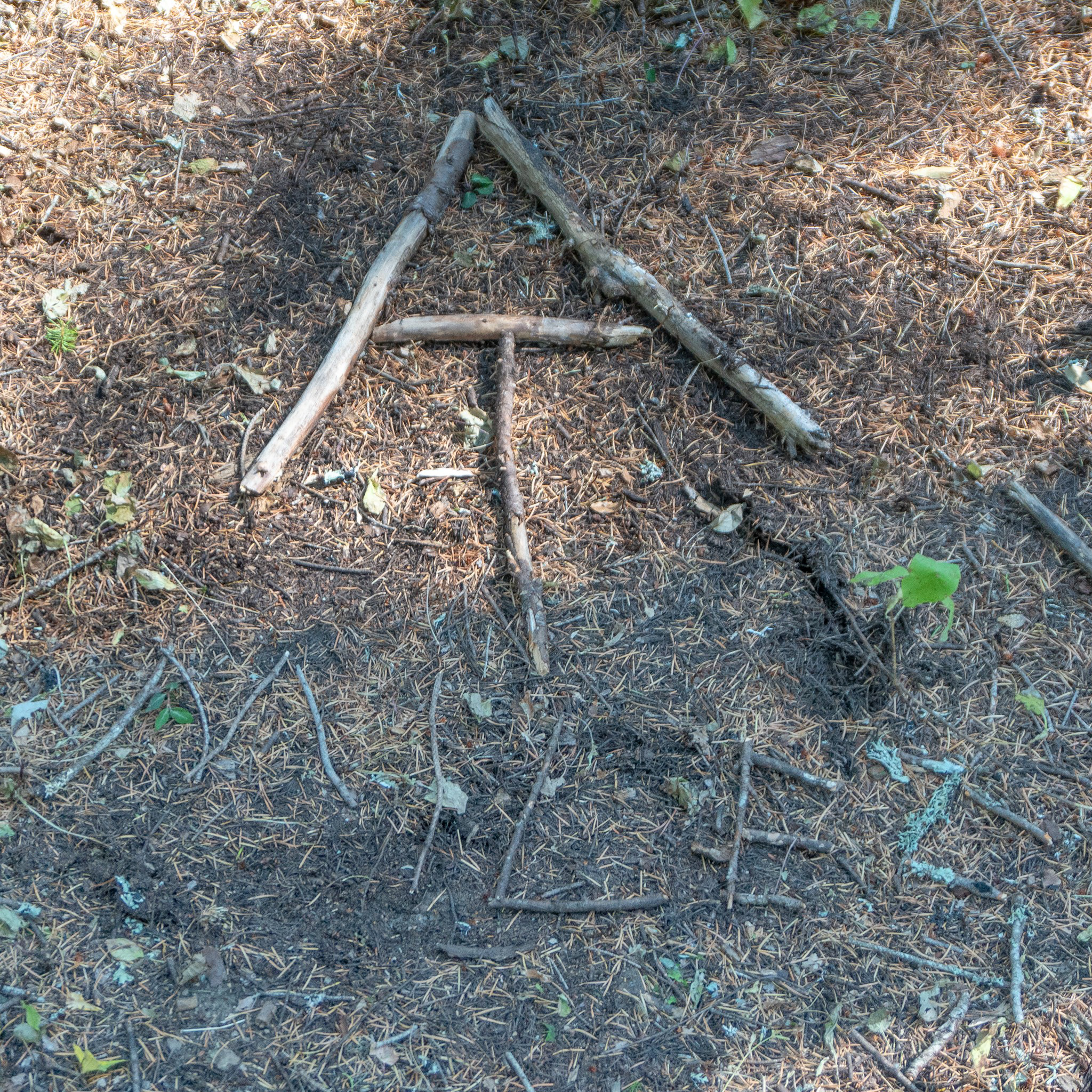
Section H is 148 miles long and runs from Cascade Locks to White's Pass. I broke it into two sections, H-1 is 81.8 miles to Trout Lake. September 5th - 7th.
Day 122, 25.7 miles to Wind River.
We were on trail at a reasonable time because it was nice and warm out at this lower elevation. This wouldn't last for long as we still had a hearty 2100ft climb to start the day. We made a friend at the first water source as we were filtering. It was a slug. We carried on and took an unexpected break at a small water cache about 2/3 of the way up along dirt road. It doubled as a perfect place to dry out our things in the sunshine. We crested over the top and soon after we ran into our old friend Caro! Her dad joined her for the short stretch from Cascade Locks to Trout Lake, a section we were doing in three days that they planned to do in ten, but at this point we were seasoned veterans with tried and true trail legs. After catching up, we took off again and dropped down to cross a series of creeks and rivers with lovely footbridges. The trail also passed by someone's yard, or compound, equipped with a teepee next to a pond with Adirondack chairs. I wanted to inspect it further but there were tons of "No Trespassing" signs so a few photos sufficed. I caught up at the Wind River bridge and we set camp on a rock bar to be lulled to sleep by the sound of the water. Also, the moon was slim and the smoke was gone so I finally got a chance to use my fast aperture lens again!
Giant slug eating a leaf.
Brace yourselves...Autumn is coming.
The Evergreen State.
Rock Creek Bridge.
The trail goes next to someone's backyard and they had an awesome setup!
Trout Creek Bridge.
Wind River Bridge.
More stars over Wind River.
Day 123, 25.6 miles to Blue Lake.
We should've known better than to camp on a river and everything had a nice damp coating on it in the morning. We were grumpy but got packed up and made the quick hike to Panther Creek for some water. I did some stretching (which I should do more often) as we waited for the water filter to slowly drip. Even with backflushing it regularly, our Sawyer filters have lost too much flow rate so I decided then and there I would get a Katadym BeFree. After the creek it was a nice steep Washington climb up 3000ft coupled with a 13 mile dry stretch. Along the way I crossed 2190 miles, which is the length of the Appalachian Trail so it stirred up some feelings in me. Still only 468 miles to go on this trek. Soon after we caught up to Shark, Squirrel, and Midge at a spring where we hung out, caught up, and agreed to camp at Blue Lake up ahead. I crushed the ascent but stopped short at the 2200 mile marker to wait for Sea Lion to get our typical thumbs up photo. We stopped at the top for a final break of the day, ate some snacks, and had cell service so I ordered my filter! At Blue Lake, it was packed. We have definitely joined a bubble of hikers but this was a popular day hike destination so campsites were plentiful.
Day 124, 23.6 miles to Road 23 and into Trout Lake. Also, our 4 month trailserversary!
Everyone left staggered in the morning and soon after hiking out, Sea Lion found a nice blueberry bush. We picked a few and noticed another further off trail so we went to harvest that. Then noticed another and another until we hit a jackpot of huge and delicious blueberries! We took a nice 45 minute break to pick a bag full before getting back to that pesky hiking thing. We crossed a trailhead that was loaded with RVs, awning deployed, and hoped maybe they also had some snacks out, but it was a ghost town. We caught a few glimpes of Mount Adams and we ate the very last of our food at the next water supply. The tiny town of Trout Lake was looming in a few miles and we were happy to finally gauge our food perfectly for this section. We blasted through the last up and down to road 23 where the town operated a volunteer shuttle service to get hikers into city limits. It is most famous for the organic farms that supply the Organic Valley brand. There were numerous scenes that looked like computer wallpapers; irrigation sprinklers shooting over lush green fields in front of the setting sun, an old-timey general store, and the small gas station & auto shop & cafe. We grabbed dinner at the appropriately named Station Cafe, which had some delicious huckleberry milkshakes. Clouds and wind were rolling in and it felt like rain was in the air. We returned to the general store, which graciously allows us to camp in the yard, set the tent and went to bed. We planned to do a food resupply in the morning and hit the trail early.
Good haul of blueberries.
Lenticular clouds over Mount Adams.


