

Section H is 175.5 miles long and runs from Crabtree Meadows to Tuolomne Meadows. This is too gorgeous of a stretch to fit in a single post so I broke it into three. Part 2 is 57.7 miles from Lake Marjorie to Marie Lake. June 26th - 28th.
Day 51, 14.7 miles over Mather Pass to camp along Palisades Creek.
We had another lazy morning with some reading and some sewing up of my space shorts. The big descent was at a perfect grade to speed down the trail like a winding roller coaster through an alpine forest. At the bottom there was a large stream that feeds into the Kings River and it was the first time rock hopping or log balancing wouldn't cut it so we had to ford. The day seemed to be a repeat of yesterday with another climb up and over, this time Mathers Pass, but it was a shorter ascent. There were some swamp lakes near the top from snow melt and on the north side some more snow patches to cross. Another hiker, Fireworks, broke through a post hole and cut her knee pretty bad but luckily Kerosene, a veterinarian with a large first aid kit, was right behind her to patch her up. We were extra cautious picking our way down and switched to climbing over rocks for a bit. When we got to the Palisade Lakes we took a quick snack and were entertained by some section hikers failing at hanging a food bag from a tree. Then we continued on through the Palisades Creek and down the Golden Staircase, the most beautiful section of trail yet, where I had life epiphanies, almost cried, and took photos what seemed like every ten feet. At the bottom we camped in the woods along the creek, built a fire, and were visited by Bambi for half an hour. I think he knew we had food and was looking for a handout.
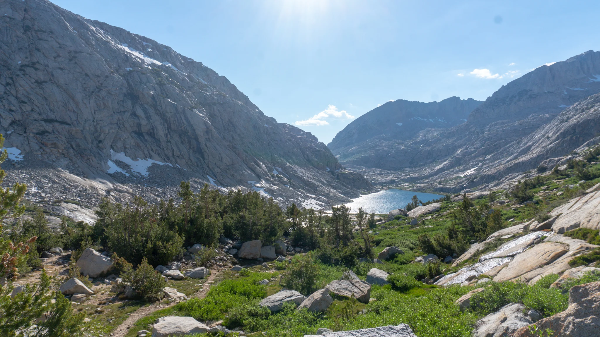
Palisades Lake.


Day 52, 20.3 miles over Muir Pass to Evolution Creek.
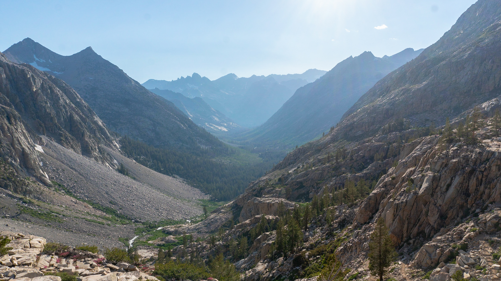
We realized that we need to start doing more than 15 miles a day if we wanted our food to last until Red Meadows Resort so we got an earlier start. The beauty continued as we got to the bottom of the valley and began the ascent up Le Conte Canyon towards Muir Pass. At one point we were hiking about 20 yards apart and a deer just mozied in between us like it was no big deal. We walked through a lush valley with the giant white peaks of mountains shooting up on each side then took a lunch break at the bottom of Langille Peak. I passed a park ranger on the way who checked my permit, said I seemed full of energy, and asked if I'd mind hiking a letter 15 miles ahead to McClure ranger station. Side Quest accepted! Towards the top, we stopped at Helen Lake where I went for a quick dip and surfed on a chunk of ice! The final stretch leading up to the pass had tons of snow so it was a bit of a choose your own adventure hike. It was also the end of my 52 day stretch without wet shoes, a true pipedream on the AT. Muir Hut, a cute stone shelter with a conical roof, sits on the top of the the pass and we joined a group of PCT'ers for an impromptu dinner party. Afterwards we marched down towards Evolution Lake and split up to camp for the night.

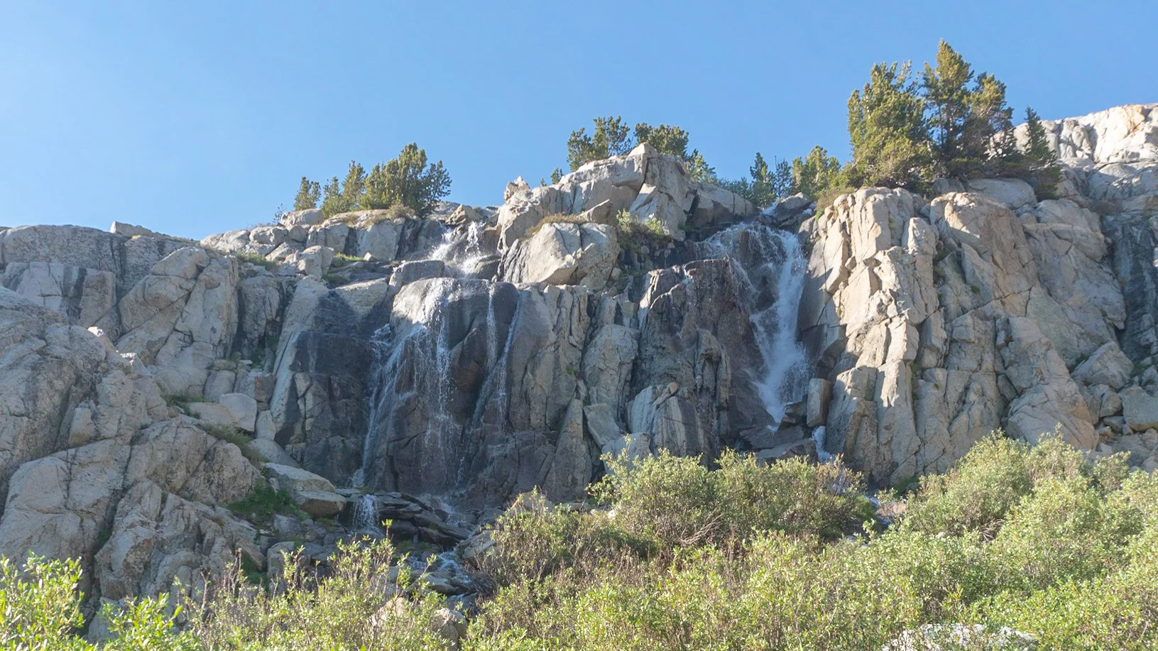
Palisades Creek before it joins Middle Fork Kings River.

Four-legged PCT hiker coming through.
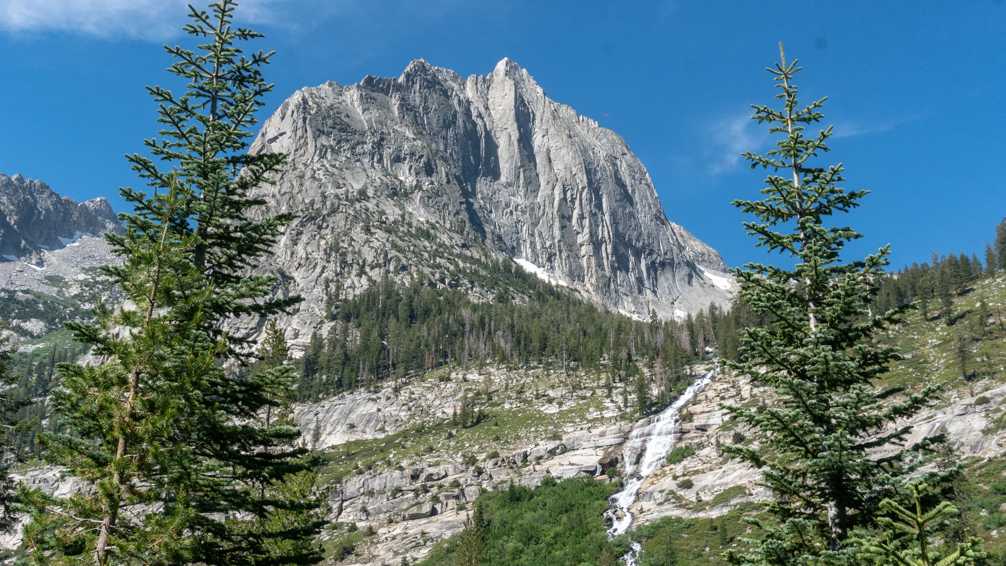

Langille Peak.

Surfing an Iceberg!!!

Helen Lake.

Muir Hut.
Day 53, 22.7 miles over Selden Pass to Marie Lake.
It was an easy 4.6 miles downhill to the ranger station where on the way we passed the 1/2 way trough California marker. Unfortunately, the ranger was gone for the morning so I left a note "special delivery from Ranger Scheur! Delivered 9:45A.M. Courtesy Space Jam" We continued on to the sometimes dangerous Evolution Creek crossing, that has it's own permanent alternate route, but the water was low so the ford was easy. Just knee deep and freezing. The trail followed the creek for awhile then veered off to go down a lot of switch backs but I instead went chasing waterfalls and followed the creek's amazing cascades. Rock hopping down cliffs next to falls, and filming them, takes a lot longer than gentle switchbacks so I had to gallop on to catch up to Sea Lion. She met some folks staying at the nearby Muir Ranch who gave her some grapes and two sandwiches! We crossed the bridge over South Fork Joaquin River which is also the beginning of the John Muir Wilderness. It was a long hike up the next pass and was mostly uneventful aside from a heart-shaped lake and the inevitable snow crossing. We made it to Marie Lake with just enough time to set camp and eat before dark.

Halfway done the first state!

Side Quest COMPLETE! I was hoping for a reward.


Marie Lake.