

Section G is 115 miles long and runs from Walker Pass to Crabtree Meadows, the turnoff to Mount Whitney. June 13th - 19th.
Day 38 continued, 4.8 miles to camp past Morris Peak.
After siesta-ing for a couple hours we set out to tackle some ascent before night fall. The first campsite was on a saddle and super windy so we went a bit further and found a shallow bowl to cowboy camp in. We had a nice view of the sunset, the lights of the town of Ridgecrest below, and sunrise the next morning.

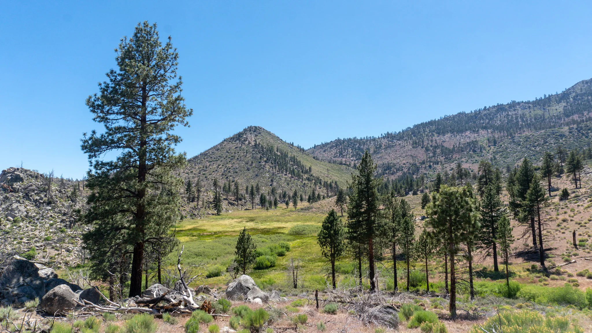
View from the side of Mount Jenkins (technically from Day 39 but this blurb needed a photo)
Day 39, 24 miles to Chimney Creek Camp.
We hit the trail bright and early as it wound around Mount Jenkins on some of the best maintained trail I've ever hiked. It was flat and level with a nice width thanks to well built embankments on the low side. We could look down at the jagged ridges of the neighboring mountains before we dropped down to a spring that "might have trace amounts of uranium" so we skipped that. Spanish Needle Creek was just ahead and we took a quick siesta there among butterflies and dragonflies. The desert heat wasn't ready to leave us and the big climb up a south-facing mountainside with limited shade led to many mini-breaks during the climb. We had a snack at the top, flew down to the bottom, hung out at the water source for a bit, and then went 0.2 off trail to Chimney Creek Campground. It was nice to have dinner at a picnic table and then chill by a fire.

I'll pass on that.


Whoops!
Day 40, 21.3 miles to Kennedy Meadows.
We packed up and made the short jaunt to Fox Mill Spring, which had delicious water next to the mill itself. It also looked like it got blown up. I listened to some Led Zeppelin to get me over the last mountain until Kennedy Meadows, the start of the Sierras, the Promise Land. Crossing through the valley just felt different with greener, moister, crisper air and then we hit the Kern River. It was glorious seeing so much water! Organic, Belch, Juice, Camel, Baseball and us two all went for a swim and laid around on the river bank. We finally made it out of the desert. From there it was four miles to get to the road and this stretch had a creepy shack and many 700 mile markers...yeah there were five of them. The trail was doing so well with having just a single 600 mile marker. We joined the plethora of hikers at the general store on the huge porch, drank beers, and celebrated completing the dreaded 700 miles of the desert.

The ruins of Fox Mill.

A random abandoned cabin near mile 700.

We made it out of the desert in 40 days! How did Moses take 40 years?
Day 41, 0 day in Kennedy Meadows.
We took the shuttle to Grumpy Bear's Retreat for brekkie which included pancakes that were at least 12" in diameter. I bought some wifi time to post Section F and we also walked across the road to Triple Crown Outfitters to pick up a bear canister and a few other items before heading back to the general store. We did chores, relaxed, sorted our food drops, and then bought some more beers to sip on as a live band played on the porch. The hikers rejoiced with revelry and had a dance party. There was even a puppy who loved being passed around and snuggled. As night fell, Moose and I built a fire under the teepee columns and laughed that it drew in 25+ hikers within five minutes, just like moths.

The "shuttle" is just a local with a pickup truck (who had a crossbow in the back) and he keeps a loose schedule of whenever he is done with his beer.

Pup-pup-pass!

Space Jam and Sea Lion.
Day 42, 17.6 miles to camp at Cow Creek.
We wanted to leave early and get into the real Sierras but the general store also offered a superb pancake breakfast. So we stuck around for that and didn't make it back to the trail until noon. We were still loving the plentiful water sources, greenery, and vibe of this new biome. It was so surreal, we kept yelling "what is this place?!?" after each turn with a new sweeping view. We stopped for lunch at a stream, continued up a lush valley, and then dropped down to cross the Kern River. The footbridge over it was home to tons of swallow birds who built their nests on the beams underneath. We found a campsite with a fire pit and a single flat spot next to the running water. So we set up there and built a fire. When a few friends hiked past we had a funny exchange:
Whoa! A fire...for the first night in the Sierra's you two are doing it right.
-We try! How far you three heading?
I don't know, another mile. I feel like we're doing it wrong.

Into the Sierras!

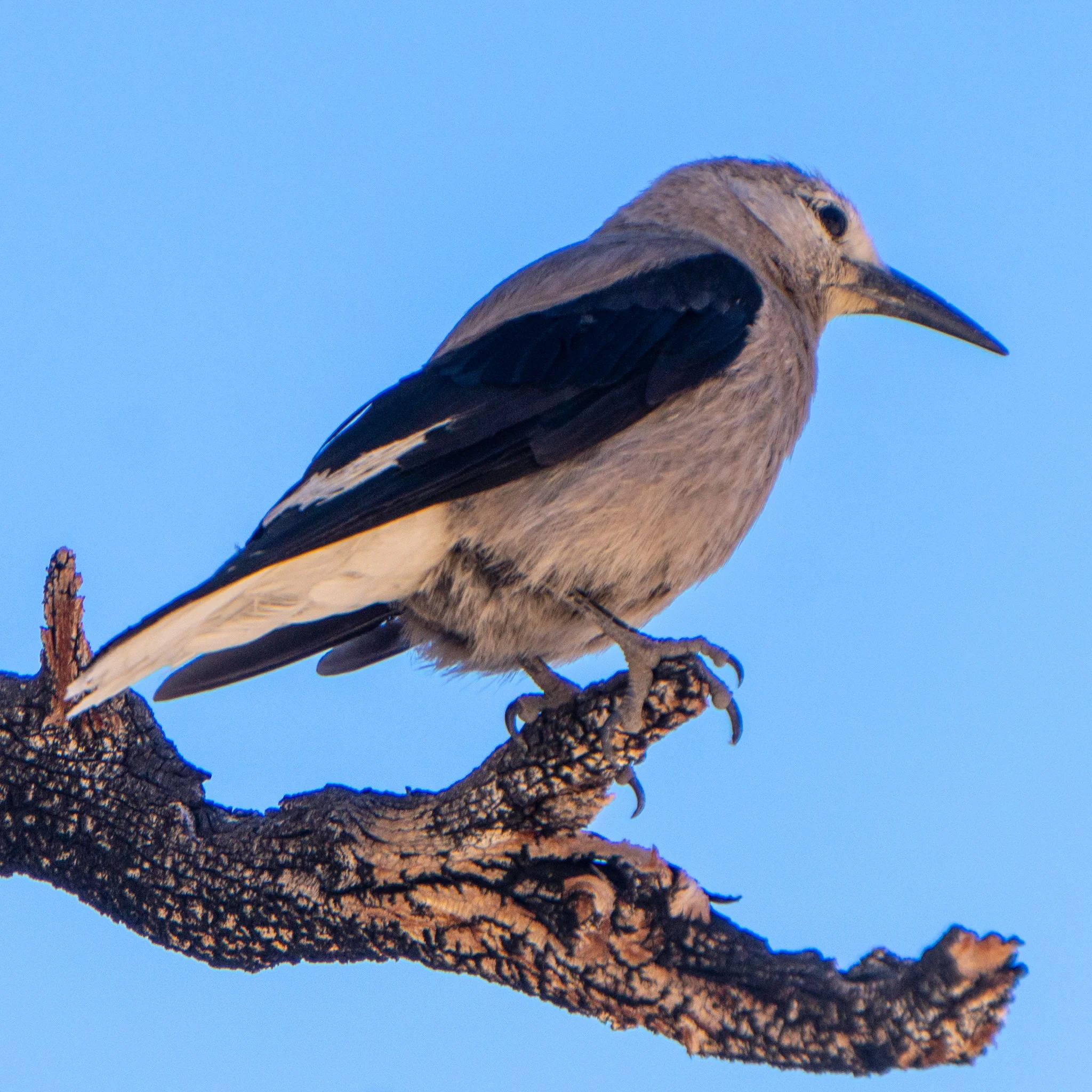
Geranium Wilfordii.
So beautiful! But this is just the tip of the iceberg.
Day 43, 27 miles to Poison Meadow Spring.
It was pretty chilly since we camped down in a valley and the sun didn't get to us for a bit. We continued the climb upwards and I was blown away by the rock formations that looked like giants stacked them precariously on top of another. A nearby airforce base had jet fighters flying all around in practice routes and one flew overhead, within a rocks throw, while we were at a notch looking down on Owen's Valley. From there we stomped out some miles to get to Poison Meadow Spring, which set us up for a 21 mile day into Crabtree Meadows the next day. We planned to do a night hike up Mount Whitney, the tallest summit in the contiguous 48 states, and catch the sunrise. Our biggest mile day was in the mountainous Sierras, our trail legs must be developing along nicely.

Clouds! Haven't seen those in awhile.

Owen's Valley.

Mind-boggingly how huge rocks can end up balanced like this. Geology is weird.
Day 44, 20.7 miles to Crabtree Meadows.
We emerged from camp and started hiking up to Chicken Spring Lake. Nature called Sea Lion and I said I'll meet you at the lake, four miles ahead. I took a trail before the outlet and scrawled an "SL" with an arrow in the sand but she missed the note and took the trail after the outlet. So she was on the other side of the lake and thought I skipped it. I went for a quick dip and after a few minutes I thought she skipped the lake. Luckily, about five miles up trail at a water source, I ran into Camel who said she walked passed ten minutes ago. Another five miles later I caught up to her as she was waiting at a stream and we had a good laugh about the whole ordeal. We hiked down to Rock Creek, which had the trails first ford even though it was an easy walk across some logs. From there it was an easy up and down through a mysterious wooden gate, and up Whitney Creek Trail to Crabtree Meadows. We planned to hike further and camp at Guitar Lake to minimize our night hike, but apparently PCT permits only allow you to camp as far as the meadows. Bummer. At least it was a pretty camp, surrounded by huge mountainous walls getting blasted with the golden setting sunlight. We were all in bed by 8pm with plan to hit the trail at 1am to make it up the 3,800 foot ascent to the summit of Mount Whitney.

Chicken Spring Lake from above.

Common scene but with an added dead V-shaped tree.

"Close this gate to protect wilderness" I think it is more of a symbolism.

Whitney Creek.