I walked out of town the next morning and was greeted with some fog and humidity that thankfully piped down before the afternoon heat began. The first few miles north of Damascus parallel the Creeper Trail and cross it a few times. When I came across a sign saying a bridge was washed out and AT hikers should take a detour to the Creeper Trail for the next stretch, I thought "yeaaa...nehh" and went down the original AT which had the first few white blazes painted over to try to deter people.
The rhododendrons were also starting to bloom which gives tons of explosions of bright pink petals peppered throughout the green forest. Also, further up the trail I climbed down under the long train bridge to check out the massive timbers that used to support locomotives and now only see a small fraction of that weight from bicyclists and hikers.
Trees grow in the darndest places.
Towards the end of the day I ran into a local doing a one-nighter and I asked how the views of sunrise and/or sunset were from the Whitetop Mountain summit and he said they're both fantastic. So I quickened my pace hoping to make the three mile climb before sunset but I missed it. The trail cuts through another cow field and then wraps around a neighboring hill which blocked my view so I was extra determined to cross to the east side of Whitetop the next morning for sunrise.
I spent a cold night right below Buzzard Rock and had a freezing morning getting packed up and crossing the bald. I had my PJs on along with my puffy jacket, winter gloves, and even wrapped my 20F sleeping bag around me like a cloak. There is a gravel road going to the summit but I had no service and never saw a map so I wasn't sure where the best vantage point for sunrise would be. It looked wooded up top so I followed the road downward but the switchbacks started before I got far enough to the east side. So I decided to go up to the summit and maybe there was a rocky overlook. Time was running out as the daylight began to fill the woods and as I jogged around a bend I saw radio towers at the summit surrounded by a thick pine forest. I briefly tried to go through the forest to the east side but could not see any sky between the trees. I decided my only option was the radio towers. There weren't any "no trespassing" signs or "danger: microwave frequency" warnings so I climbed up a tower and set a time-lapse up with just minutes to spare.
Next up was the Grayson Highlands which has rock climbing, Virginia's tallest peak, wild ponies, and lots of nostalgia for me as it was the first stretch of the AT I ever hiked. The first stop is the side trail to the Mount Rodgers summit...but I'm not falling for that again! (4:10 of Adventure Week) then I found the campsite where we stayed 2 years ago.
First time camping on the AT was here but there was no fancy fire pit back in those days.
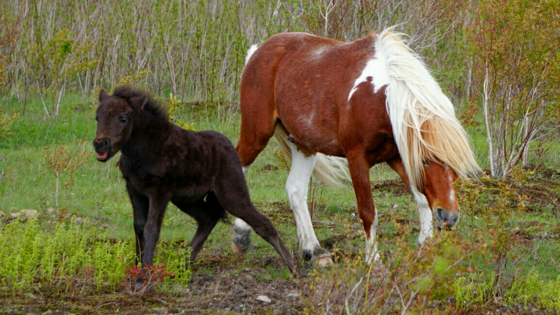
Almost immediately afterwards I started to see the cows and wild ponies checking fire pits for food or grazing on the grassy Highlands. I know you all want pony photos and videos so without further ado:
I'm so suave and cool.
Ahhhh! Run away!
Before we depart the Highlands, I leave you with a quick bouldering route I climbed and a photo of me by an AT sign.
Look familiar?


