
Day 1: Monson to Long Pond Stream Lean-To. 15.1 miles.
There was a massive meetup of floatplanes in the nearby Moosehead Lake and their constant buzzing was a little annoying as I began this stretch. Those were soon forgotten when I came to Little Wilson Falls, which were actually rather large and the surrounding rock looked amazing. It was in neat, geometric shapes arranged in titghtly stacked slabs so I decided to have lunch there while enjoying the scene. NightRider caught up to me and we hung out for a little before continuing on and then leapfrogging each other the rest of the day. I blasted across the Little Wilson River ford, disturbed lots of grouses (grousi?) who in turn startled me as they flew away, and crossed the Long Pond river with ease. There was a fraying rope to aid a fording attempt but I found a place to rock hop instead. As darkness fell, I called it quits near the Long Pond Stream Lean-To even though I knew a 1,000ft climb first thing in the morning would not be fun.
Day 2: Long Pond Stream Lean-To to Gulf Hagas North Junction. 17.3 miles.
The Barren Ledges were formed from a humongous rockslide offering great views and some fun/dangerous rock hops to get out to the good viewpoints. Soon after was the framework of a fire tower whose top structure was blown off years ago. After I climbed the tower I saw that the roof was laying on the ground, off to the side, but largely in tact. It gave me a good laugh as I stood atop the ladder that went to nowhere.
Barren Ledges.
View of the rock slide and then some, Barren Ledges.
Remnants of a fire tower on Barren Mountain.
Rest of the fire tower, Barren Mountain.
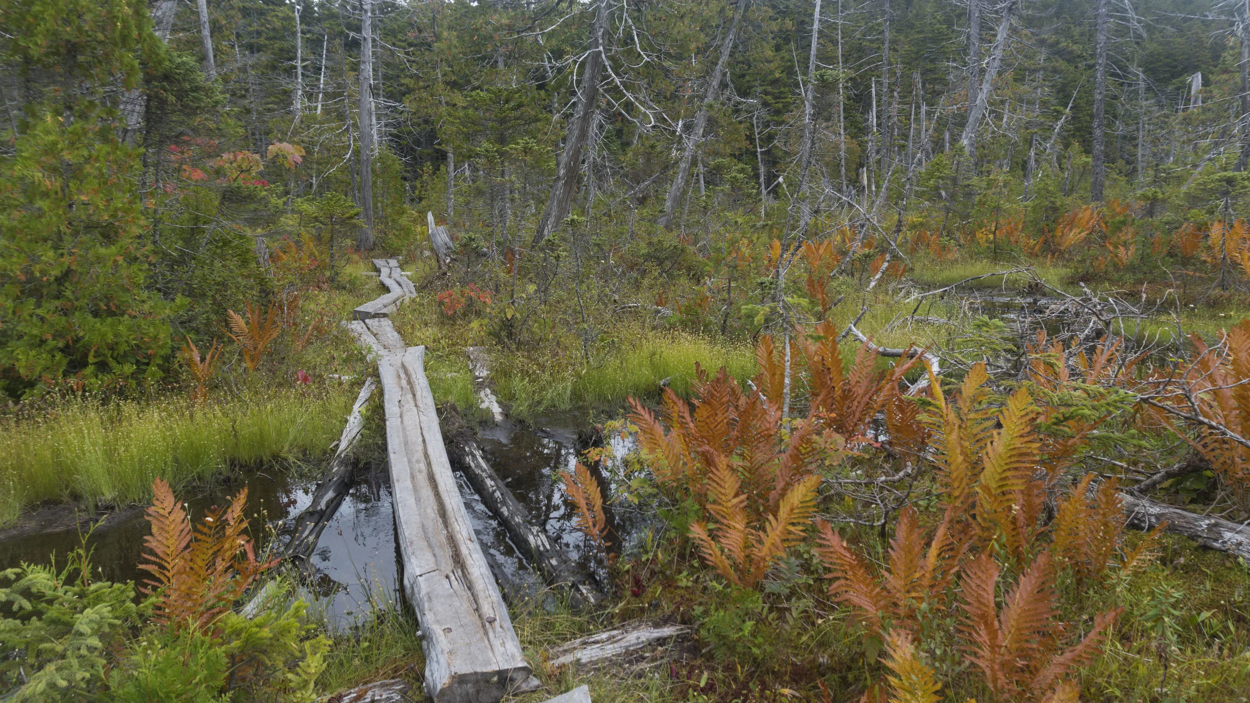
Fourth Mountain Bog
Day 3: Gulf Hagas to Mountain View Pond. 16.4 AT miles + 4 miles in Gulf Hagas.
I left camp near the north junction and set off to slackpack the Gulf Hagas loop carrying only my camera and water. This route meant I would do a 0.7 mile repeat of the AT but allowed me to cover the 4 mile loop MUCH faster with about 10% of my normal pack weight. I took a wrong turn which skipped two or three of the upper falls but I loved how beautiful the canyon was with deep ravines, giant rocks jutting out above the river, and numerous waterfalls. I wish I did more research and knew which pools were deep enough to jump into! After three hours of photographing waterfalls and views on this side quest I returned to camp, packed up, and set off hoping to at least clear the upcoming peaks.
Buttermilk Falls.
The Jaws.
Took a few shots, but I finally captured the swirling eddy.
Screw Auger Falls...I wanted to jump in so badly!
The morning loop was tons of fun and it was yet another bookmark for 'must-see' places next time I find myself back around these parts. The amazing sunny weather in the 70's continued as I hiked up Gulf Hagas, Hay, and White Cap Mountains with the latter offering the first view of Mount Katahdin. I had largely been hiking solo through the remote 100 Mile Wilderness and finally seeing the finish line stirred up a mix of feelings; terribly sad that the journey was ending but wildly proud for completing it and creating countless experiences and stories that I'll remember for a lifetime. The terrain surrounding Katahdin is relatively flat which makes this mountain seem even more intimidating as it blasts 4,000ft upward from the forest. I continued down White Cap and decided to ford the Pleasant River that evening instead of first thing in the morning when the water would be a bit colder. I set camp next to the side of Mountain View Pond and gazed at the stars before falling asleep.
Mount Katahdin looming in the distance, view from White Cap Mountain.
View from camp at dusk, Mountain View Pond.
Day 4: Mountain View Pond to Nahmakanta Lake. 27.3 miles.
The wind was whipping across the pond and right into my campsite so I packed up in a hurry and went down the trail to a spring where I stopped to cook brekkie and water up. I flew over Little Boardman Mountain and saw a bear cub dart off into the woods right before I got to Cooper Brook Falls Lean-To which had yet another great swimming hole. Fancy left a log entry saying he was planning to camp at a beach Nahmakanta Lake which was also what I was aiming for, just a short 21 miles away. I hit a high gear and blasted some miles, snapped some photos of a decaying boat, and took a quick break at Antlers Campsite. The afternoon finally heated things up enough that I took a longer break on the other side of Jo-Mary Lake and went for a long swim.
This boat has seen better days. Jo-Mary Lake, just south of Antlers Campsite.
Antlers Campsite. If you're ever in the 100 Mile Wilderness...STAY HERE! Hands down one of the best camps on the whole trail and I wish my mileage worked out so I could've spent the night.
Feeling refreshed and rejuvenated from the dip, I resumed crushing some miles and found a surprise while crossing the tiny Tumbledown Dick Stream (hehe) before arriving at the campsites near Nahmakanta Lake. There was no sign of Fancy, but I enjoyed the sunset before night-hiking to the far side of the Lake so I could also enjoy sunrise. I found the beach but again, no Fancy. I later found out that he was fast asleep just 20ft in the woods from where I was!
Sunset at Lake Nahmakanta. I night hiked to the land on the other side so I could catch a similar view for sunrise the next morning
Day 5: Nahmakanta Lake to Hurd Brook Lean-To. 20 miles.
I woke up for sunrise, set a time lapse at a picnic table on the beach and then found a creepy abandoned campsite with a pair of bronzed baby shoes, a hat, a tattered life jacket, a leg bone, and camp chairs that were falling apart. Very weird. I watched the sun rise and reflect off the lake as I read more of LotR (which I was on track to finish the trilogy before I finished the AT) and ate. The trail had a steep up and over Nesuntabunt Mountain before leveling out and passing numerous swimming holes and ponds with canoes, which, if these canoes weren't chained up, I probably would've borrowed for a paddle. Along Rainbow Lake I stopped for water and ran into a guy heading South who I met ON DAY ONE at Stover Creek Shelter. DAY ONE! He was flip-flopping and only about 1,100 miles behind my pace...I hope he made it. My knee really acted up heading up Rainbow Cliffs so I stopped to take a break and read more. At the top of the cliffs and soon after at Hurd Brook Lean-To I caught up to my soon-to-be summit crew: tons of hikers I met in Virginia but haven't seen since (Scallywag, Giggles, Sparkles, Hair Candy, Hubbahubba, and Juan Gone) some recent friends (Fancy, Trail Mix, and Stitch) and some new faces (Log Jam, Pigasus, Jukebox, and One Night Stand) Having a group of awesome people was going to make summiting Katahdin a truly amazing experience.
View of Nahmakanta Lake from the top of Nesuntabunt Mountain.
One of the many White Blazes on a tree in Maine.